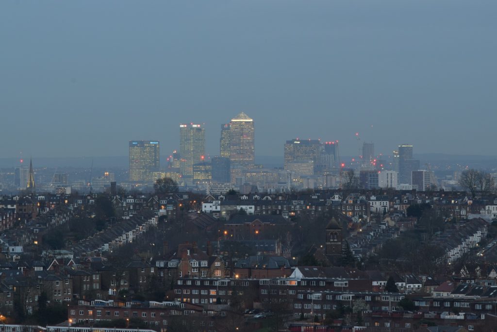
Crouch End is an area of North London, approximately 5 miles from the City of London in the western half of the borough of Haringey. It is within the Hornsey postal district (N8).
Crouch End lies between Harringay to the east; Hornsey, Muswell Hill and Wood Green to the north; Stroud Green and Archway to the south; and Highgate to the west. It is located 4.6 miles north of Charing Cross and 5.1 miles from the City of London.
The name Crouch End is derived from Middle English. A ‘crouch’ meant cross while an ‘end’ referred to an outlying area.[2][3] Some think that this refers to the borders of the parish, in other words, the area where the influence of the parish ends. Its name has been recorded as Crouchend (1465), Crowchende (1480), the Crouche Ende (1482), and Crutche Ende (1553).[4] In 1593 it is recorded as “Cruch End”.[5]
Crouch End was the junction of four locally important roads. A wooden cross was erected at the junction of these roads, roughly where the Clock Tower now stands, and a small settlement developed around it. Crouch End seems to have developed as the early centre of cultivation for Hornsey, and was where the farmsteads seem to have been grouped.[6]
From the later part of the eighteenth century, Crouch End, along with most of Hornsey, became home to wealthy London merchants seeking a refuge from the City. However, the area remained rural in character until around 1880.[7] The development of the railway changed the area significantly. By 1887 there were seven railway stations in the area. By the end of the 19th century, Crouch End had become a prosperous middle-class suburb due to an influx of mainly clerical workers who could easily commute to the city. The large old houses were replaced by comfortable middle-class housing, public parks were created, and a number of new roads and avenues, such as Elder Avenue and Weston Park, were laid out.
It expanded greatly in the late Victorian period and most of its present-day streets were built up in the late 19th century. By the mid-1930s Crouch End had a popular shopping centre that included a Music Hall in the middle of Topsfield Parade.
Until 1965 it was administratively part of the Municipal Borough of Hornsey and that body’s forerunners. In 1965, when local government in London was reorganised, Hornsey merged with the boroughs of Wood Green and Tottenham, and Crouch End became part of the London Borough of Haringey.
In the post-war years, the London-wide provision of social housing led to the building of council homes in and around Crouch End, Hornsey Vale and Hornsey itself. Many of the older houses in the area lay empty post-war and many were bought cheaply by speculative landlords who then let them out to the growing student populations of the Mountview and Hornsey Art College as well as to artists and musicians, who flocked to the area because of cheap rents. The area became known as student bedsit land for several decades into the early 1980s until rising house prices changed the social profile of the area and progressively wealthier residents moved in. These social changes were accompanied by changes in the shop types over the period; the change brought a large number of estate agents, hairdressers, restaurants and cafes. However, Crouch End retains a good selection of traditional high street shops including 2 butchers, a fishmonger, 2 grocers, 3 bakers, 2 bookshops, 4 children’s shops, over 30 places to buy a cup of coffee, 8 pubs and 2 cinemas.

