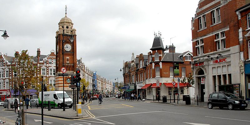
Hornsey /hɔːrnziː/ is a district of north London, England in the London Borough of Haringey. It is an inner-suburban, for the most part residential, area centred 6.2 miles (10 km) north of Charing Cross. It adjoins green spaces Queen’s Wood and Alexandra Park to the north.
In the narrowest sense Hornsey is a relatively old, small area centred on Hornsey High Street, at the eastern end of which is the churchyard and tower of the former St Mary’s parish church. This was the administrative centre of the historically broad parish.
North of Hornsey High Street, and immediately to its south, some of the area is public sector housing, surrounded by the late Victorian terraces developed by builders such as John Farrer.[2] Between the western end of the High Street and the bottom of Muswell Hill, the character of the area changes; most being part of the Warner Estate built up with large late Victorian houses. To the south west of the High Street is Priory Park.
The High Street has a number of shops, restaurants and pubs. The eastern section retains strips of grassed areas. The 13th-century tower is all that remains of St Mary’s Church. The Tower has recently been used as The Intimate Space, which claims to be London’s smallest performance space.
There are various views as to the location of Hornsey’s current boundaries. The northern and eastern boundaries are relatively uncontentious. Most definitions seem to recognise those as being provided by the Great Northern Railway and Alexandra Park respectively. The southern and western boundaries are less clear cut. A recent version of those boundaries was provided by popular local opinion as expressed in the residents’ survey undertaken as part of the application for the Crouch End Neighbourhood Forum. It offers a contemporary view of where local residents see the boundary between Hornsey and Crouch End and so defines the southern and western boundaries.[3] The area defined is almost identical to that presented by one individual on a personal Google Map.[4] Both closely resemble the post-19th century Anglican parish[5] and pay regard to lingering units of property reference such as the layout of building schemes (developer’s estates).
Other definitions revolve around nearest rail/tube access, which moves Hornsey east, and in all the non-Anglican definitions a westerly portion of the ecclesiastical parish is omitted, asserting it serves part of the westerly breakaway locality of Muswell Hill, particularly as slopes increase. Alternative boundaries compete. One contender is the post-2002 electoral ward, Hornsey, the first ward of its name alone. It was created under the roughly 14-year re-warding process — as one of seven, specifically the east, central ward of the seven three-councillor wards west of the broad main line railway. For electoral fairness it has to bundle part of what all other definitions consider Hornsey into Stroud Green, in the south-east, on signs and in the sale deeds agreed with developers being a small neighbourhood on the west side of Harringay railway station.[6] Since 1917 the N8 district has existed which reaches greatly to the south and east for originally equal postal unit size: namely Crouch End and part of Harringay. Although it was a division that was described for the convenience of a civic service rather than anything else, it held a resonance for some as it is the only district numbered from and which used to be administered from Hornsey.[7]
Since the end, in 1930, of the remaining Poor Law Union purpose of urban civil parishes in England as a broad a definition as the largely undivided civil parish or its forebear, the unseparated civil and ecclesiastical parish has become obsolete.

